Introduction To The Farm Survey
A survey of the new AgResearch farm at Newstead was conducted to find both the type and location of soils present.
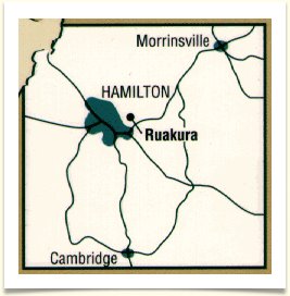
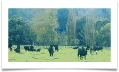
The farm is situated adjacent to State Highway 26, the Hamilton to Morrinsville road.
It is necessary that soil types and their positions be understood as these factors could significantly affect field studies carried out on the farm.
The map that has been generated will be used as a guide to the location of soils in the surveyed area.
Simple soil mapping units are used to represent the different soil types that belong to the five soil series present.
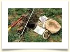
The specialised soil survey map, produced on a scale detailed and accurate enough for research purposes (approximately 1:5000), was completed by using standard mapping methods, with auger descriptions and changes in topography employed to map the soil boundaries.
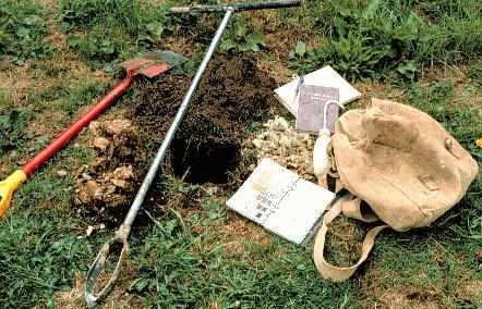
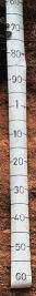
A Dutch auger was used to a depth of 100 cm, with a brief description of each profile and its location recorded and marked on the field map.
 |
section one contains the soil map, identifying soil groups of the surveyed area, |
|
there is information on each of the soils that were present in the surveyed area, and this is available from the farm map , |
|
section three is a detailed account of the range in characteristics of each of the soil units compiled, using the auger descriptions along with information about the soils such as drainage, soil textures and colours, |
|
section four concludes with discussion about patterns and influences of soils in the area. |
The soil survey report is in four sections: